- LanguageAfrikaans Argentina Azərbaycanca
Bahasa Indonesia Brasil Brezhoneg
Català Česky Dansk
Deutsch Dhivehi English
English English Español
Esperanto Estonian Euskara
Finnish Français Français
Gaeilge Galego Hrvatski
Íslenska Italiano Latviešu
Lëtzebuergesch Lietuviu Magyar
Malay México Nederlands
Norsk bokmål Norwegian nynorsk Polski
Português Română Slovenšcina
Slovensky Srpski Svenska
Tiếng Việt Türkçe Wolof
Ελληνικά Български Македонски
Монгол Русский Српски
Українська עברית العربية (مصر)
العربية العربية پارسی
कोंकणी বাংলাગુજરાતી
தமிழ் ಕನ್ನಡ ภาษาไทย
ქართული ខ្មែរ 中文 (繁體)
中文 (香港) 日本語 简体中文
한국어
Home / OBJEKTE / GEOTOPE 80
Creation date

 Informationstafel am Parkplatz Schloss Mansfeld (Foto Dr. S. König)
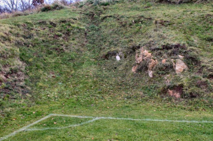 Sportplatz Wolferode; der Eckpunkt wurde im Gipsgestein angelegt (Foto Dr. S. König)
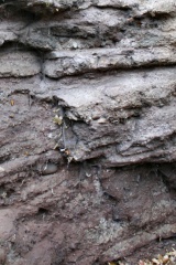 Detailaufnahme Schichtgrenzen Bornstedter Straße (Foto Dr. S. König)
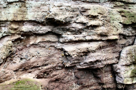 Schichtgrenze zwischen dickbankigen Sandsteinen u. Konglomeraten (Foto Dr. S. König)
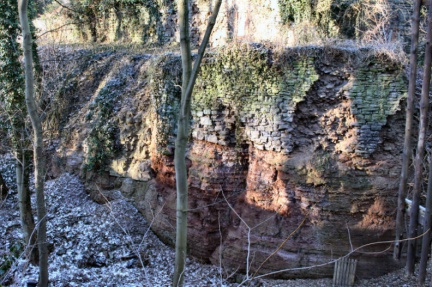
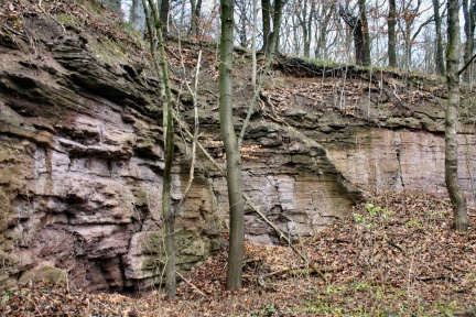 Steinbruch am Schlossberg Bornstedt zw. Schmalzerode - Bornstedt (Foto Dr. S. König)
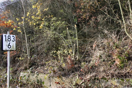 Aufschluss am nördlichen Hang des Bahneinschnittes (Foto Dr. S. König)
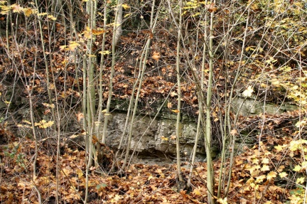 Zechsteinkalk mit deutlichem Schichteinfallen (Foto Dr. S. König)
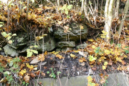 Sichtbare Reste des abgebauten Kupferschieferflözes (Foto Dr. S. König)
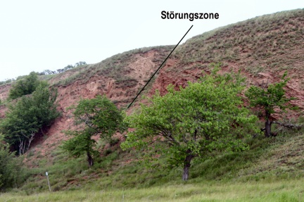 Störungszone Nordufer Salziger See ( Foto Dr. S. König – 2007)
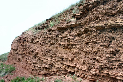 Aufschluss Unterer Buntsandstein Nordufer Salziger See ( Foto Dr. S. König – 2007)
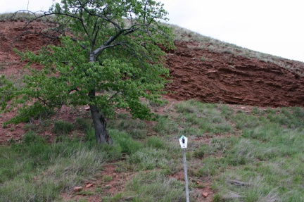 Ausschilderung Naturschutzgebiet Nordufer Salziger See ( Foto Dr. S. König – 2007)
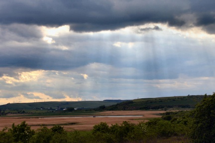 Abendstimmung am Salzigen See (Foto Dr. S. König – 2007)
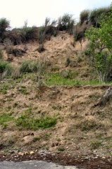 208 Uferterrasse Koe
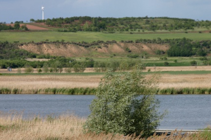 Nördlicher Uferböschung Salziger See (Foto Dr. S. König – 2007)
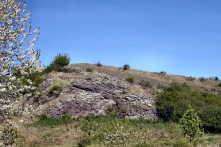 Felsenklippe aus einer Melaphyrbrekzie im Stockbachtal Großörner (Foto Dr. S. König – 2007)